Hi, we’re Simactis.
We help planners, consultants, and researchers simulate how people move, live, and interact—so they can make smarter decisions, faster.
Introducing Tapestry
From pixels to planning decisions.
Tapestry is our service for building high-definition network data from imagery by combining:
This hybrid approach allows us to efficiently generate transport networks at meter-level precision, perfect for simulation, asset management, and urban design.
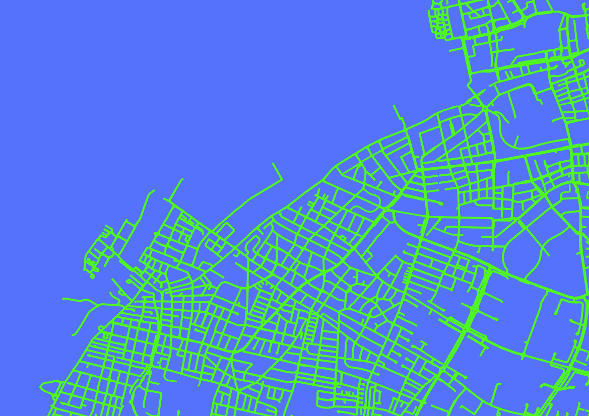
Traditional data
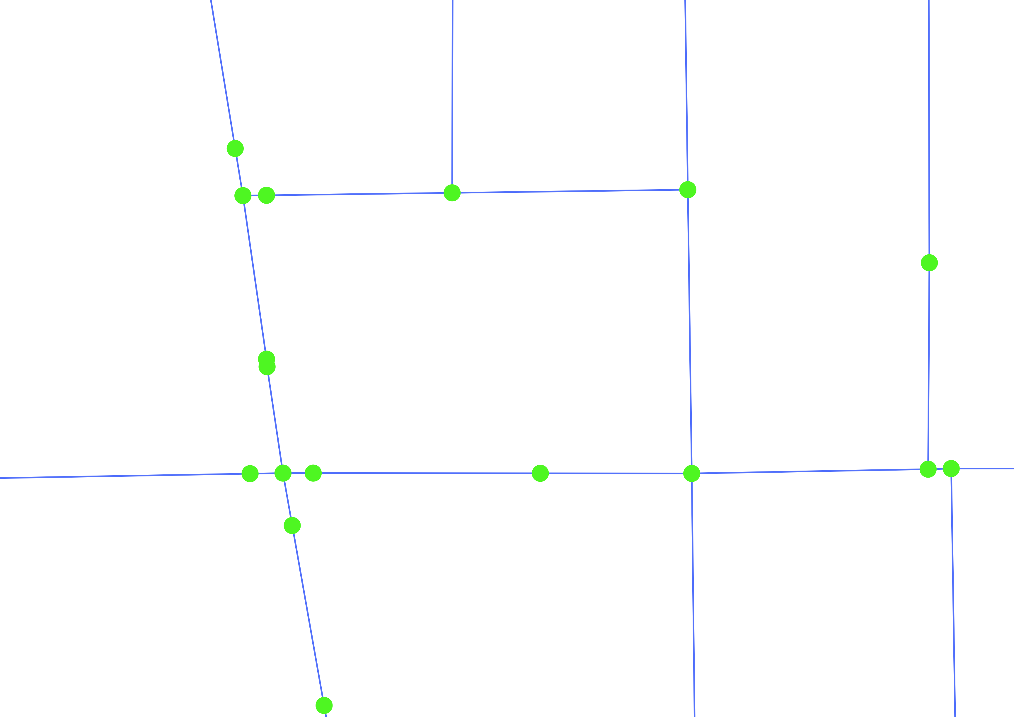
Streets as links.
Intersections as nodes.
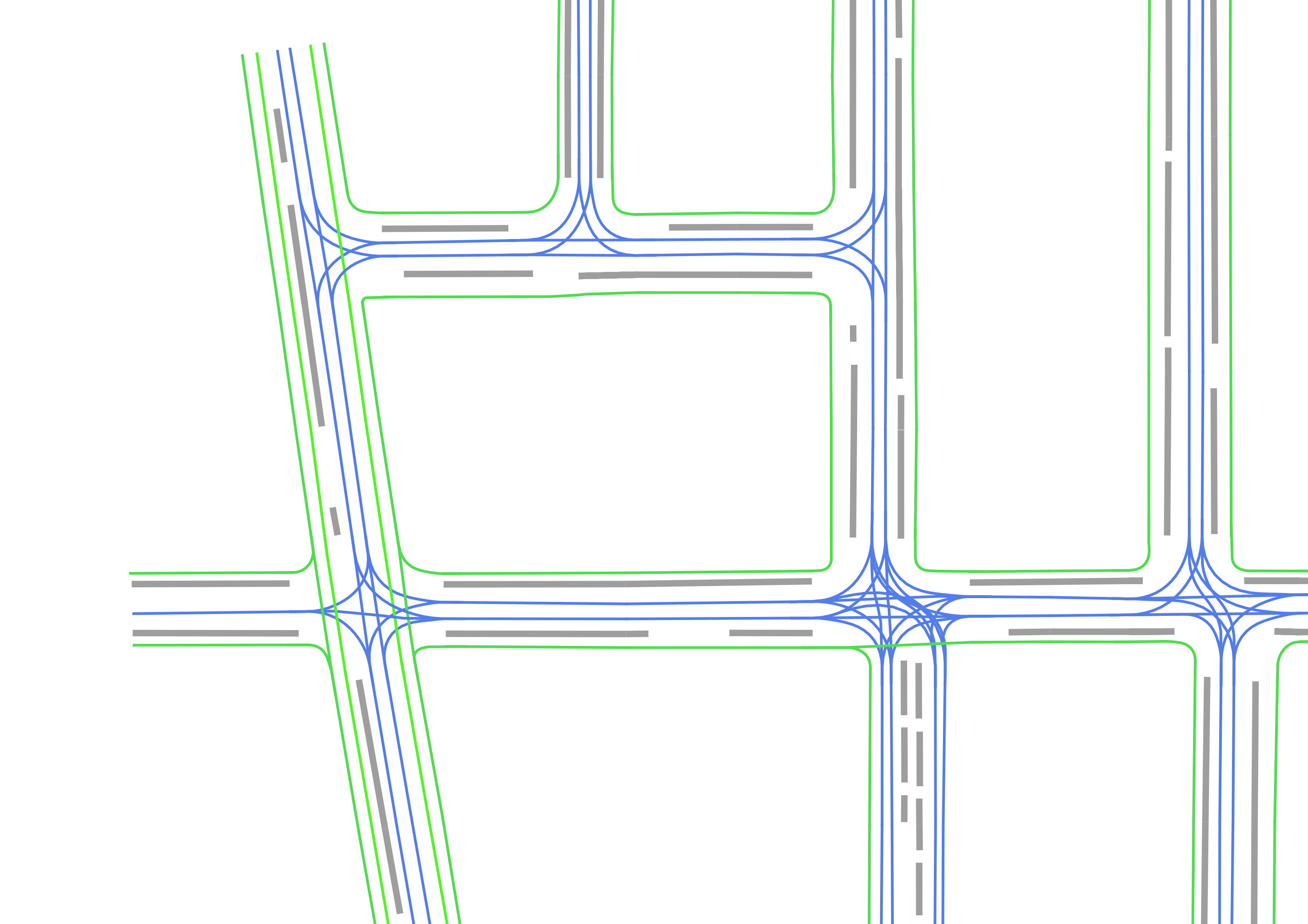
Tapestry
Complex street topology represented. Lane, turn, pedestrian, cyclist, and parking data captured.
Why are we launching Tapestry?
Getting high-quality transport network data is harder than it should be.
How it works
Our process is simple: You give us the area - we deliver the network.
Request a quote
Use our online tool to draw the area you want to digitize.
We process your request
We gather imagery, extract and refine the network, and perform quality assurance to ensure completeness and accuracy.
You receive ready-to-use data
Delivered in your preferred format—compatible with simulation, planning, or mapping tools.
Pricing
Simple, transparent pricing.
€ 15 per km of road network. Minimum fee of € 450. Volume discounts apply.
Please note: Imagery fees apply if high-resolution public data isn’t available for your area. Additional satellite tasking fees may also apply in addition to the quoted imagery amount if recent satellite imagery is unavailable.
Your quote
You’ll receive a quote instantly by using our online tool. Draw your area of interest on the map below and fill in your details underneath.
| Approximate network length: | 0 km |
| Digitisation estimate: | € 0 |
| Imagery estimate: | € 0 |
Draw here
And fill in your details below to get your quote.
Your details
Features
Use cases
Service areas
Currently our service areas are Denmark, Sweden, and Norway. Other regions are coming soon.
Coming soon
Our Roadmap
We’re building an integrated simulation platform. Tapestry is the foundation—but it’s only the first piece of the puzzle. Stay tuned.
Meet the founding team


Get in touch
Want to learn more about Tapestry, request coverage, or explore a partnership?
📍 Based at Ideon Science Park, Lund, Sweden